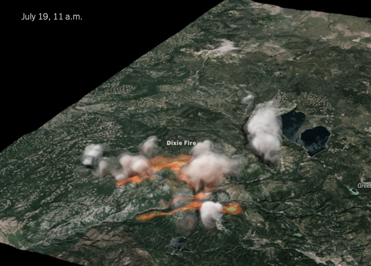
The New York Times used radar data to create a 3-D model of the Dixie fire smoke clouds:
The raw data was collected every 10 minutes in radial sweeps around the radar stations, each at a higher altitude. The Times combined and reformatted the data using Py-ART, a collection of algorithms and utilities used regularly in radar analysis. We then filtered it to reduce noise.
We applied color and texture to the 3-D volume to approximate a smoke- and cloud-like look. And we interpolated the sequence in time to create a smoother video animation.
The data comes from the NOAA Next Generation Radar (seems to be down right now), and the rendering was inspired by Neil Lareau’s more barebones chart.
Tags: Dixie Fire, New York Times, radar, smoke